【Hiking】Mt.Ryuo
Mt. Ryuo, 575 meters above sea level, is located in Saijo, Higashihiroshima City.
At the foot of Mt. Ryuo, there is the Ikoi no Mori Park, which has facilities for men and women of all ages to enjoy, such as a children's plaza, a lawn plaza, a day campsite, and an auto campground.
This time, the Discover East Hiroshima staff climbed the mountain for the first time in a while, aiming for the summit of Mt. Ryuo in Ikoi no Mori Park.
We will introduce you to the sights and views of Higashi-Hiroshima and Saijo, which can be seen from the summit, as well as the mountain trails.
〜 Table of Contents 〜
- 01 Mt. Ryuo overlooking the cityscape of Higashihiroshima and Saijo
- ・Start climbing towards the summit of Mt. Ryuo!
- ・Various climbing routes to the summit
- 02 Detailed information on Ikoi no Mori Park and Mt. Ryuo
- ・Recommended items to bring
- ・There is also a cherry-blossom viewing spot at the foot of Mt.
- ・Detailed information on Ikoinomori Park
Mt. Ryuo overlooking the cityscape of Higashihiroshima and Saijo
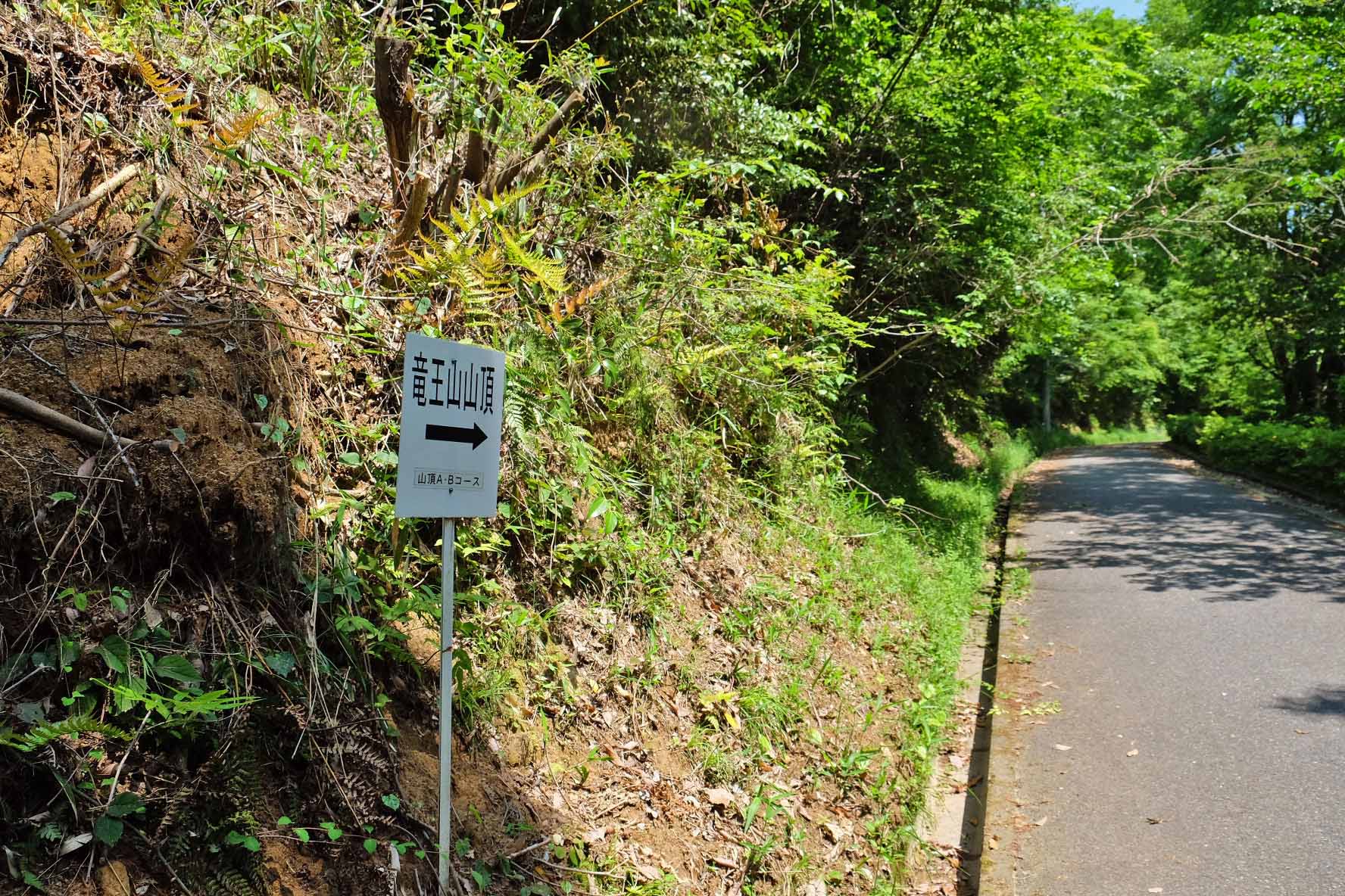
Start climbing towards the summit of Mt. Ryuo!
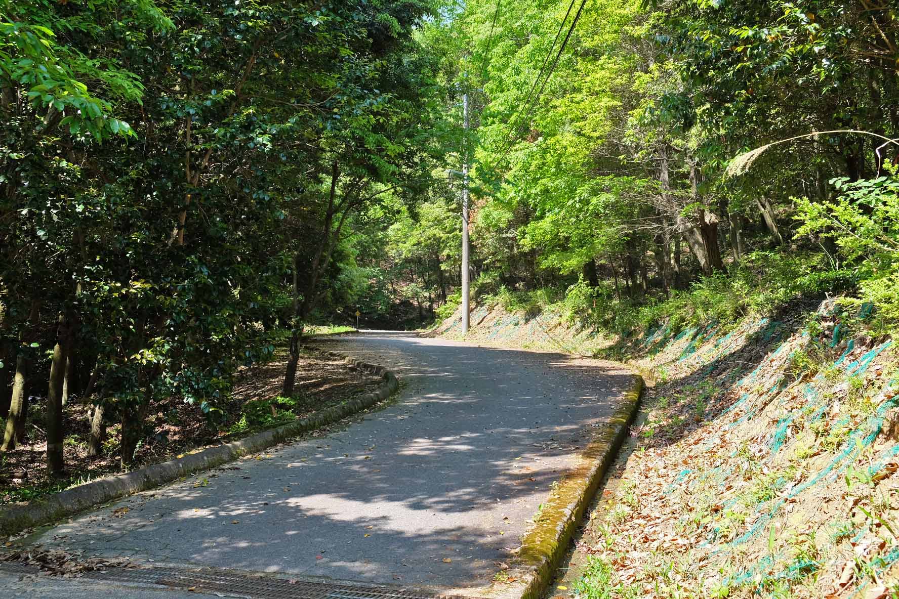
Park your car in the parking lot of Ikoi no Mori Park and head for the summit of Mt. Ryuo (the first observatory).
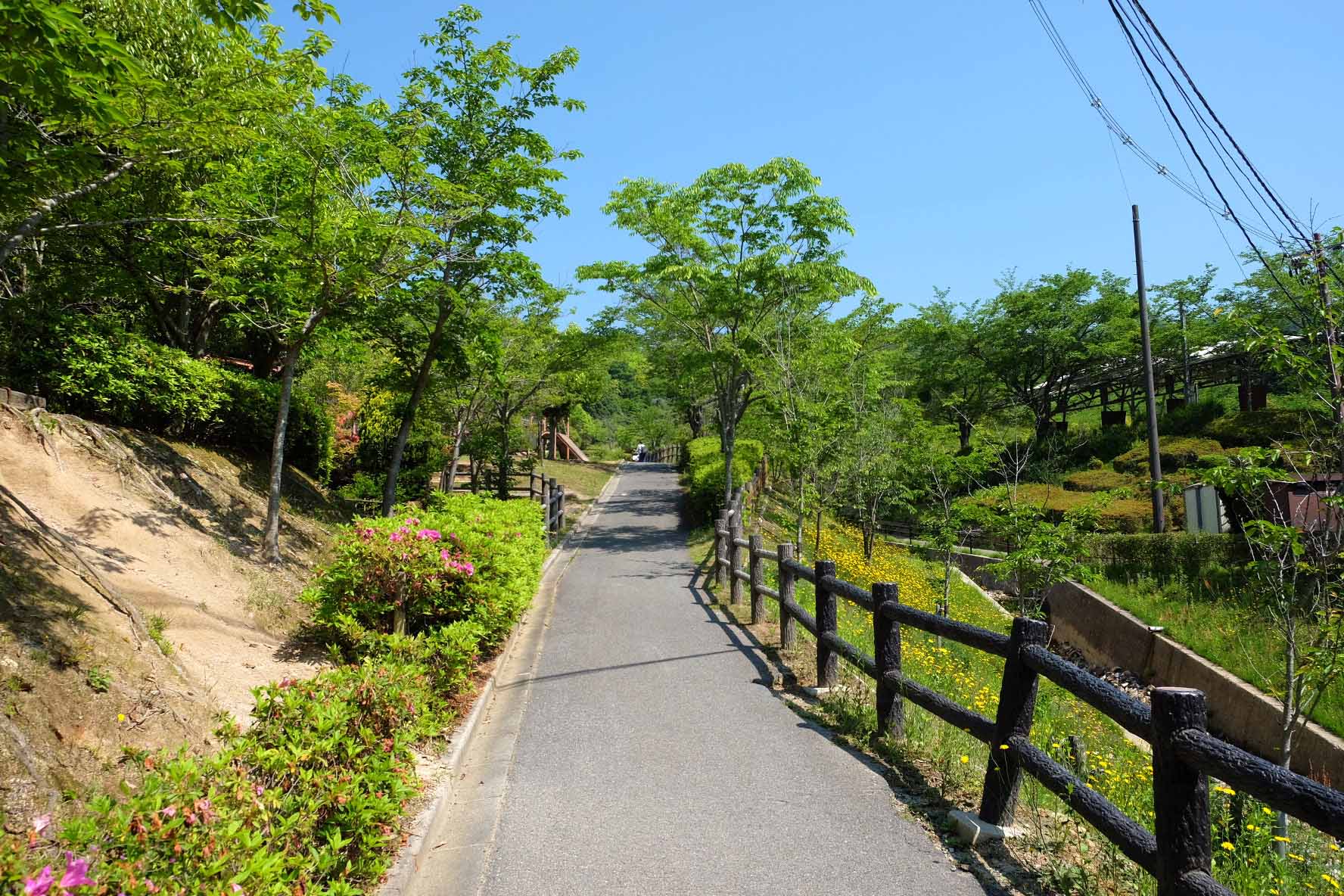
The altitude near the parking lot is about 310 meters, and the summit is 575 meters, so the altitude difference is about 265 meters. Although there is a difference in elevation, one of the attractions is that the mountain trails are well-maintained, so you can climb easily.
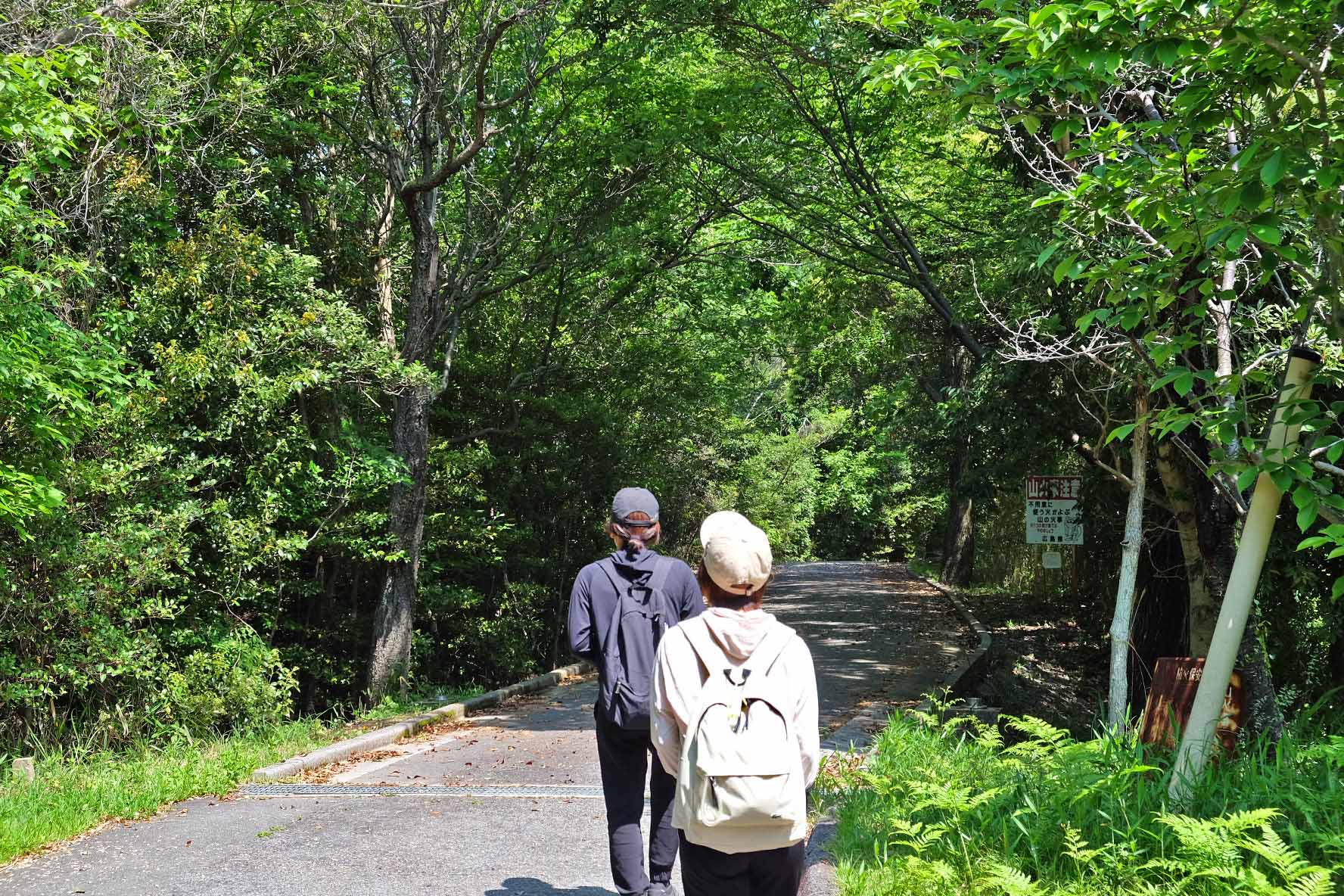
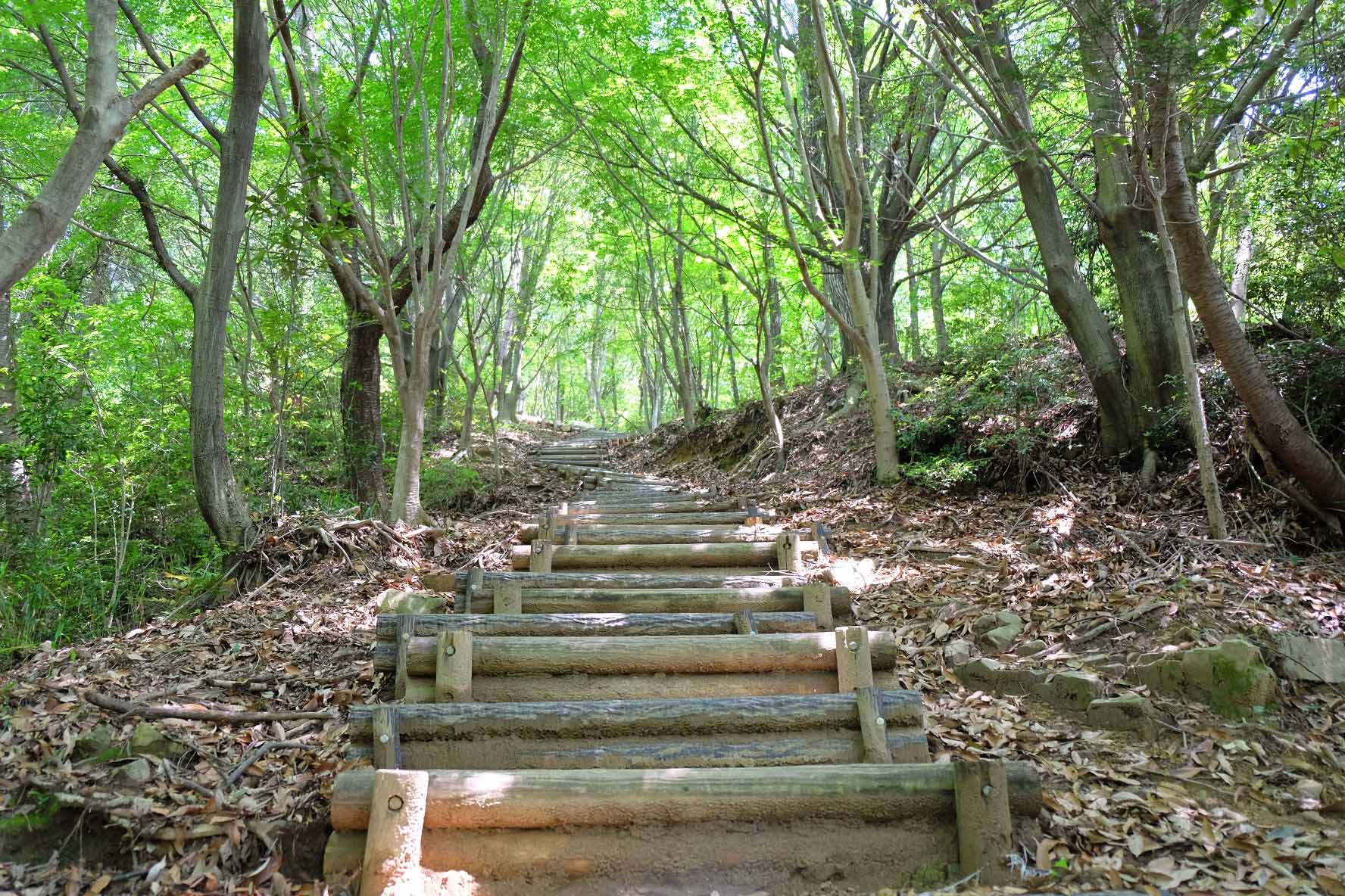
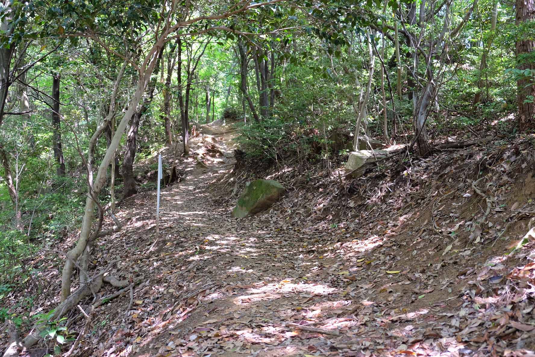
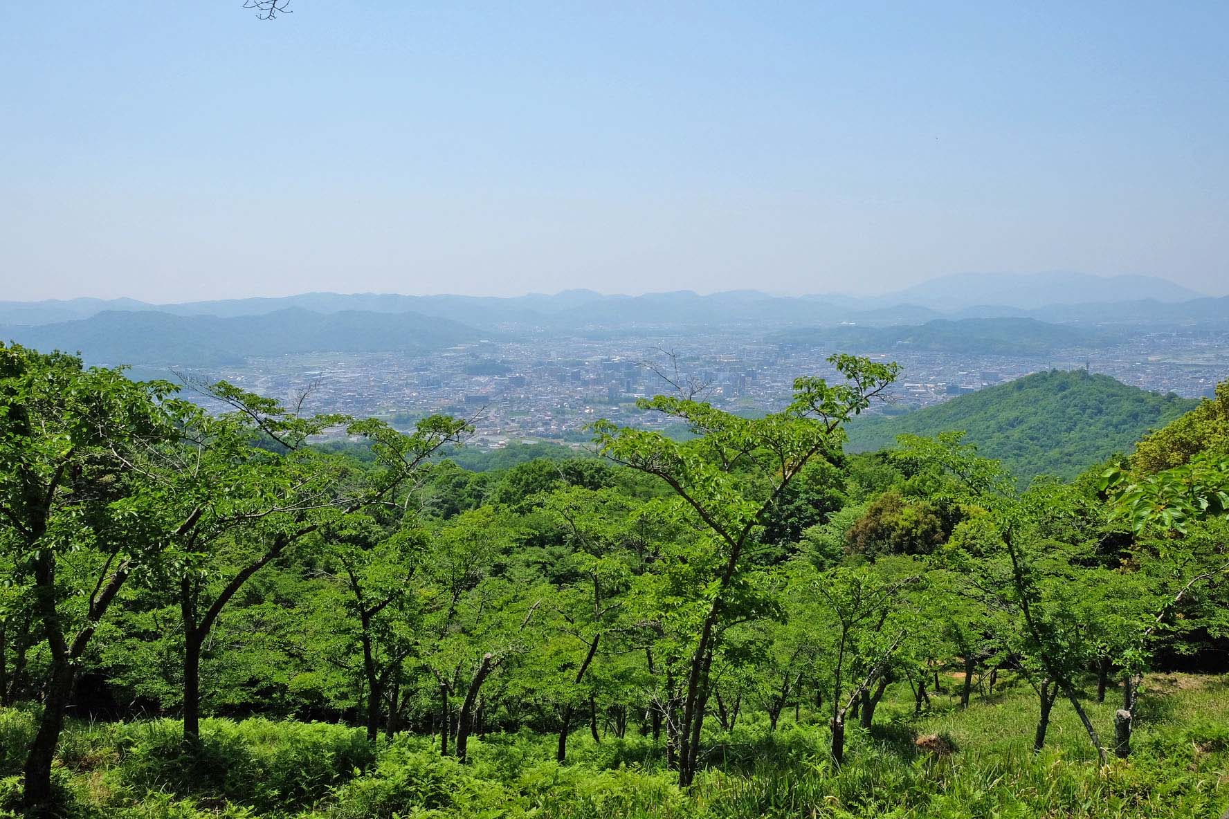
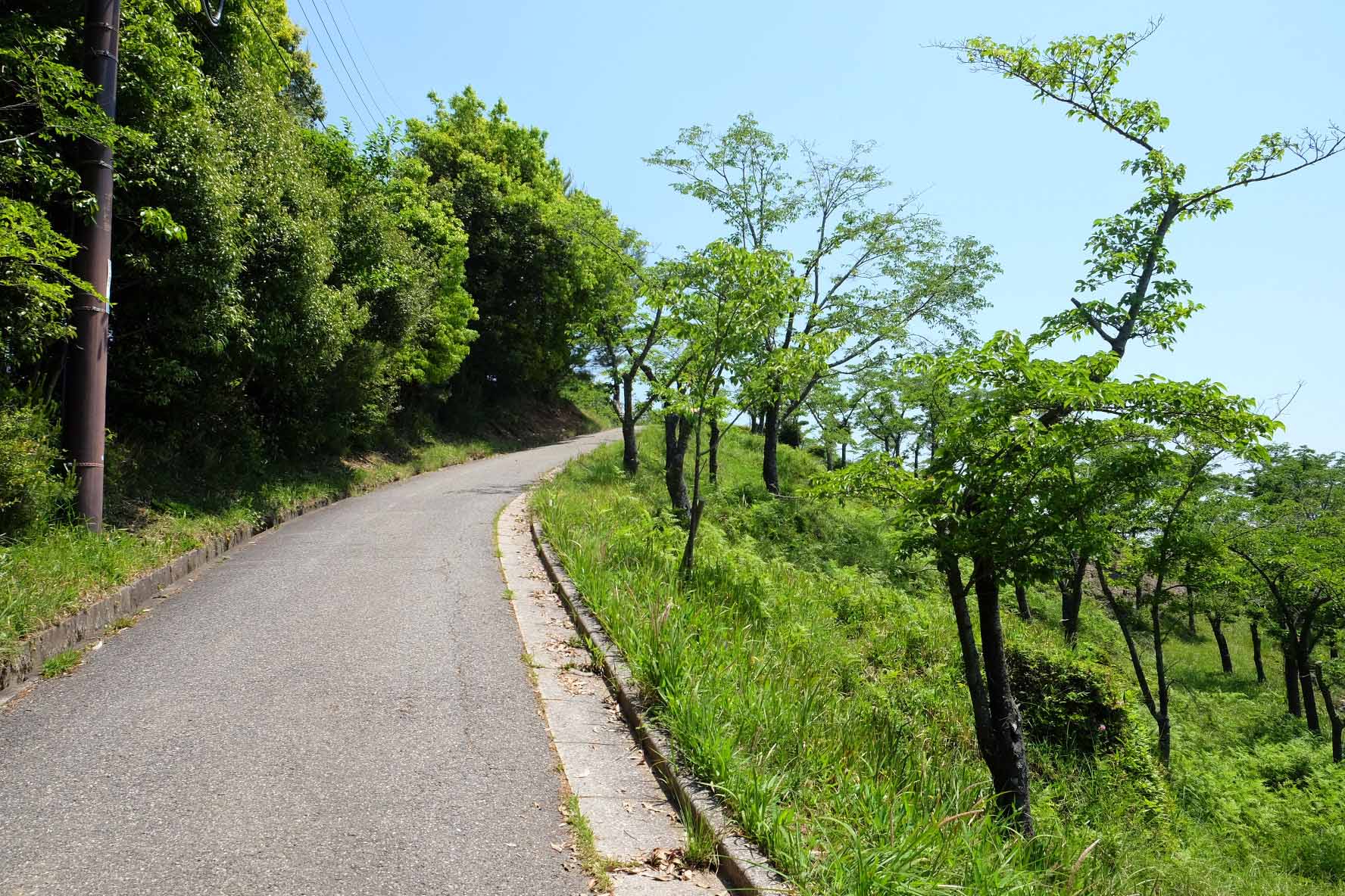
■ Hiking trails and trails surrounded by trees
Hiking courses and mountain trails are maintained up to the first observatory of Mt. Ryuo.
It takes about 30 minutes to 1 hour to walk along a road surrounded by trees.

Let's walk the mountain path and aim for the top while listening to the sound of the leaves and branches swaying in the wind.
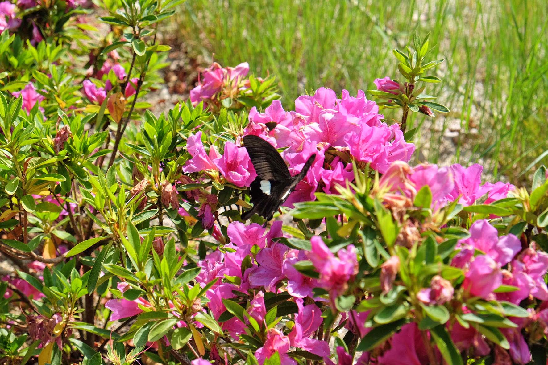
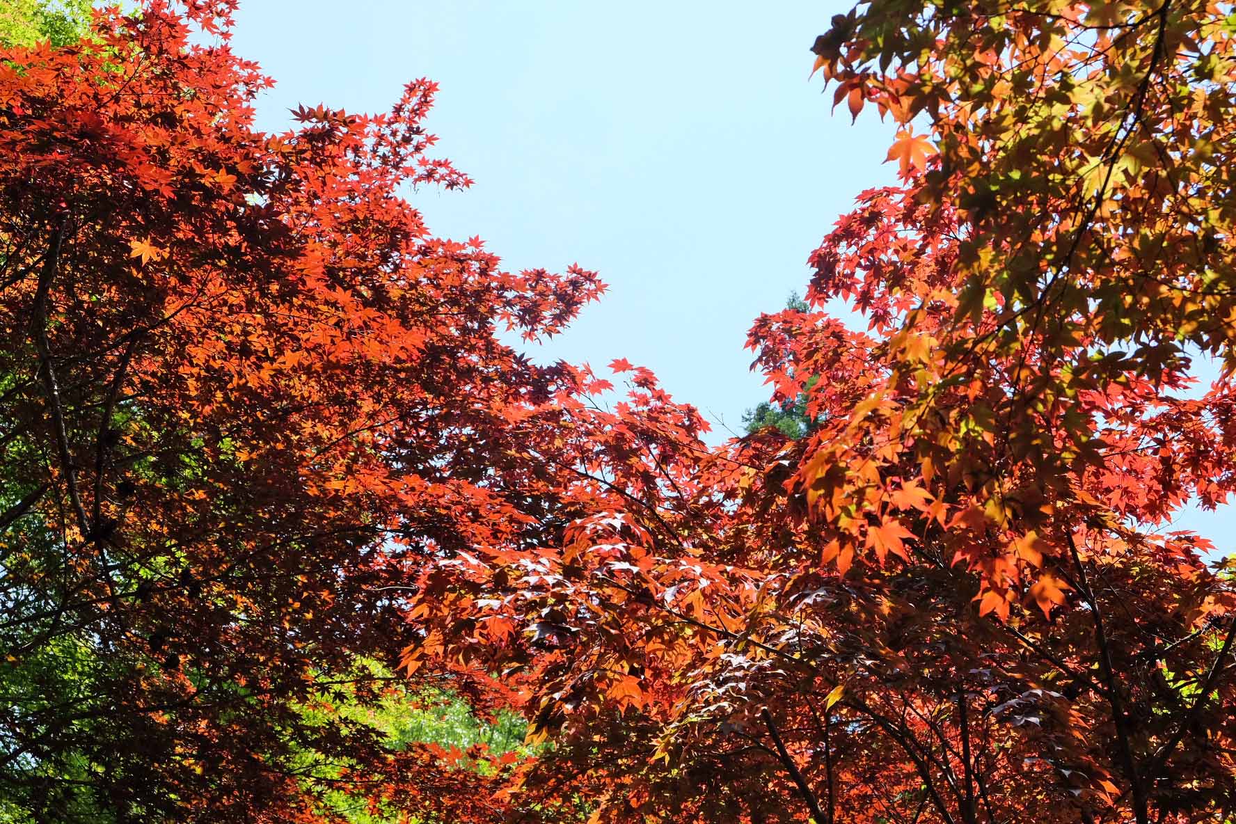
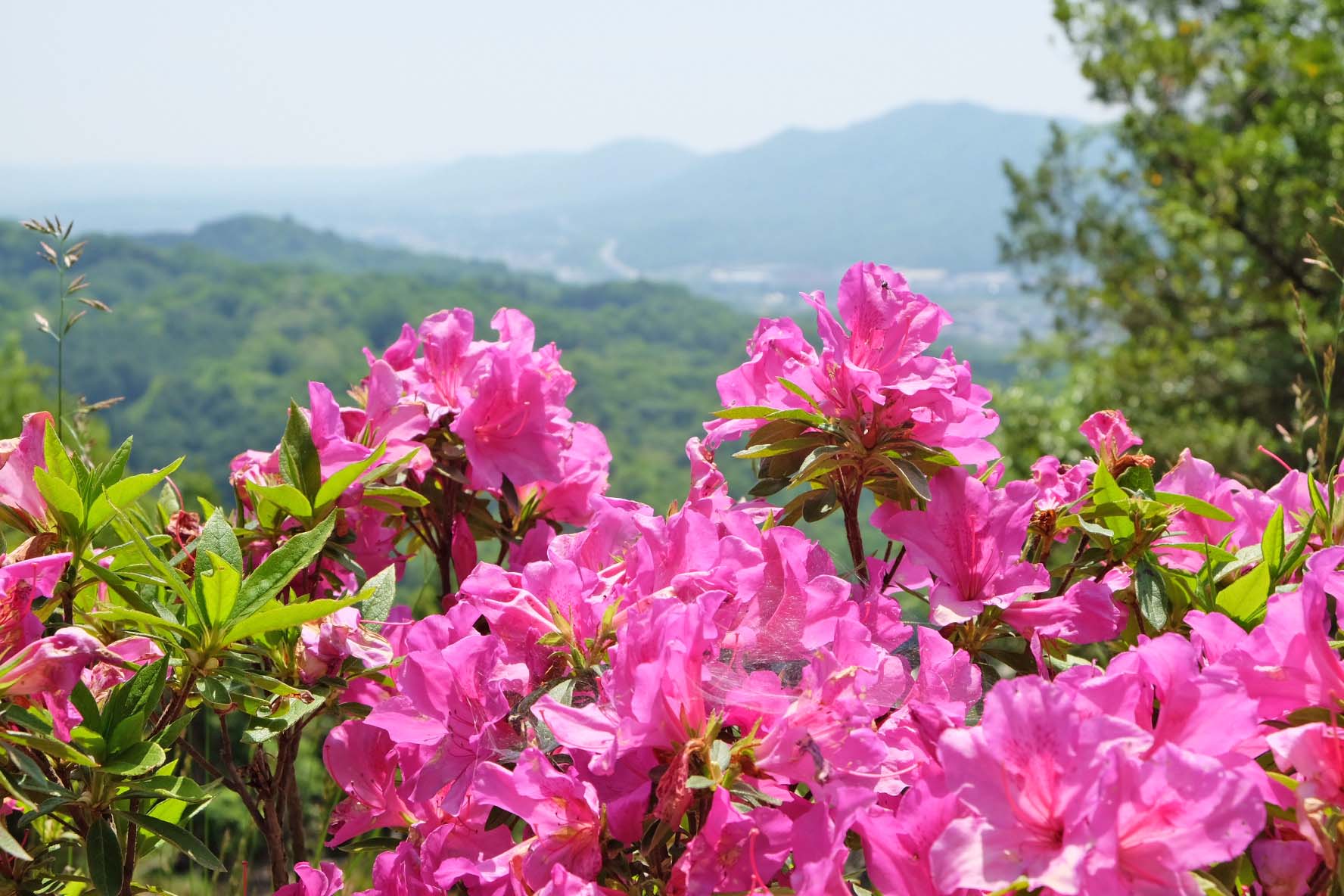
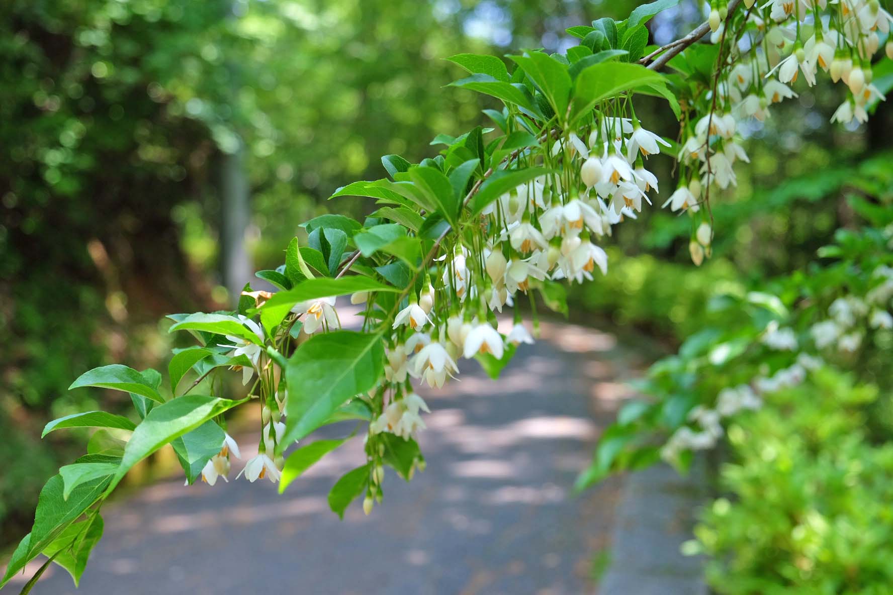
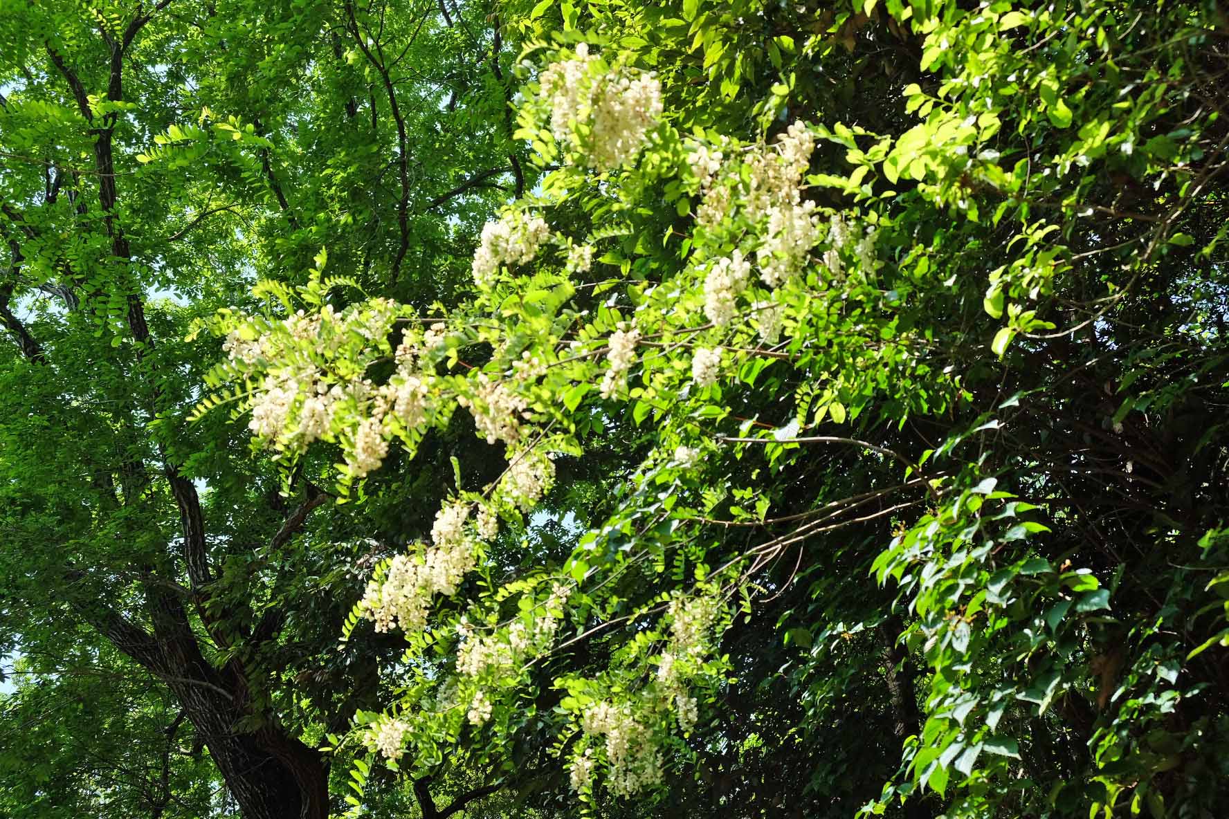
■ Flowers and colorful trees along the way!
On the way to the top, various flowers were blooming, so we took a picture without thinking.
Even though it is spring, there are also trees with autumn leaves that make you feel autumn.
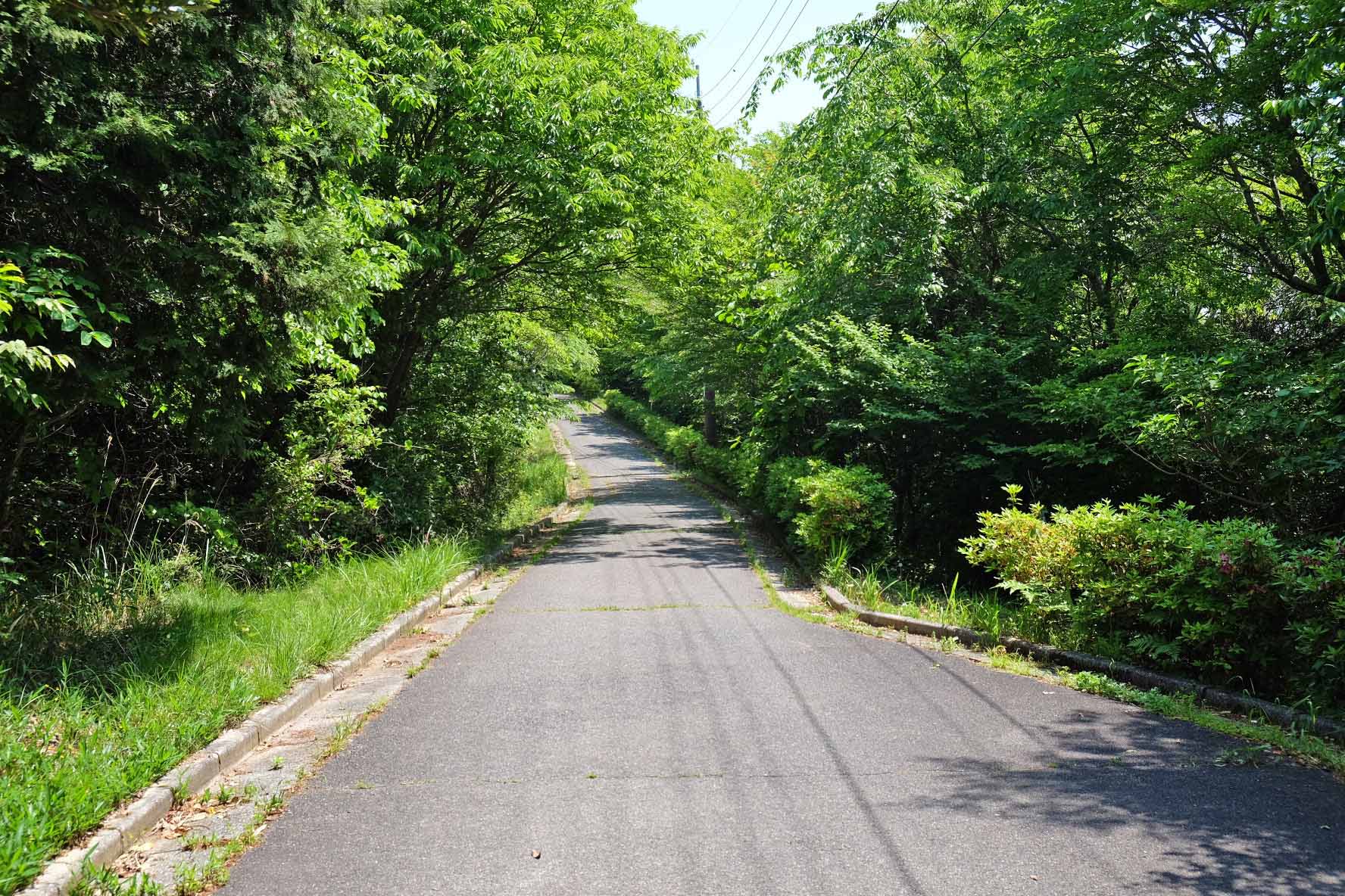
Various climbing routes to the summit
As shown in the map below, there are five main routes to the summit of Mt. Ryuo (A to E courses).
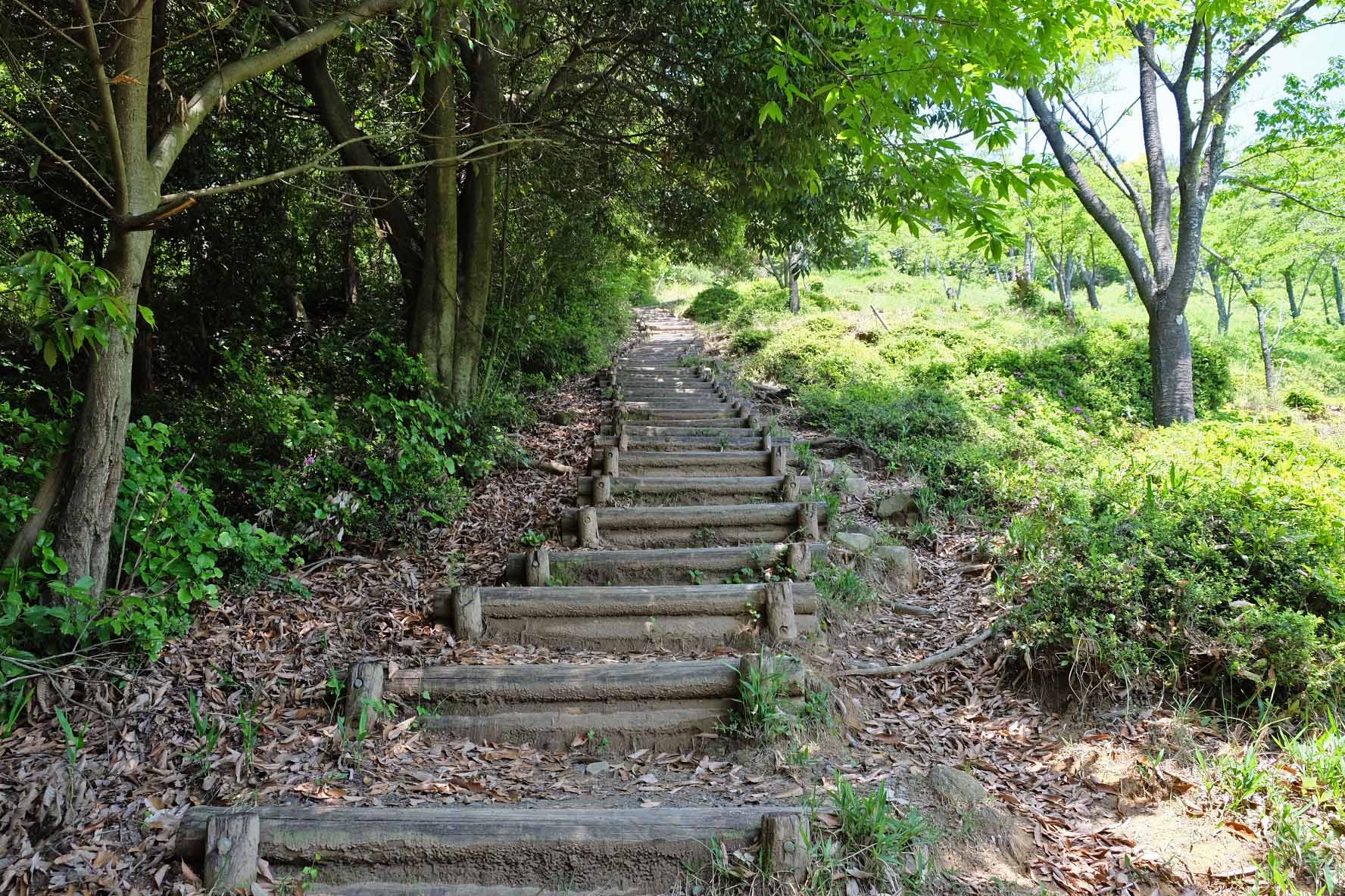
Course A is for hiking, and courses B to E are for mountain climbing.
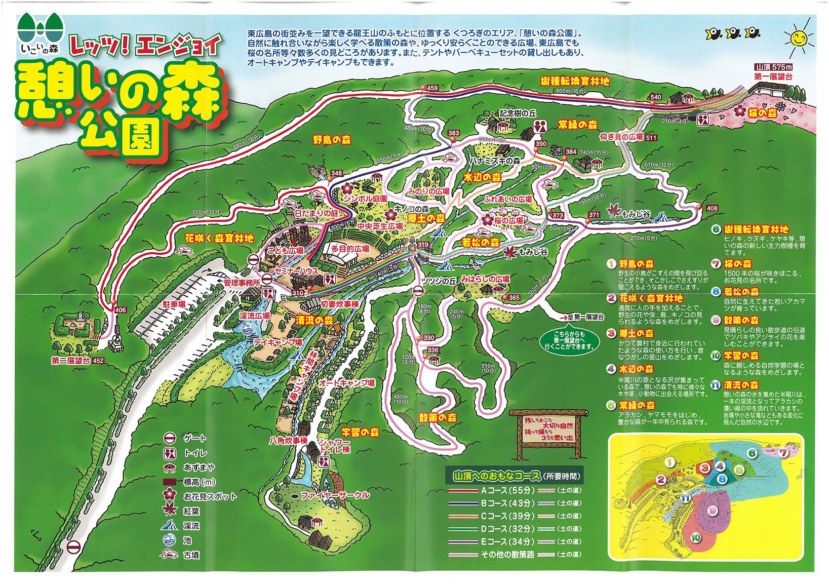
■ Course A
The distance to the top of the mountain is long, but we will continue to climb the concrete paved road.
It takes about 55 minutes, which is longer than courses B to E, but the slopes are relatively gentle, making it an easy course to walk.
■ Course D
The distance to the top of the mountain is short, but the slope is relatively steep, and the route involves climbing dirt roads and stairs. It takes about 32 minutes and is recommended for those who are physically fit.
■ Course B・C・E
Like the D course, the distance to the top of the mountain is short, but the slope is relatively steep, and you have to climb dirt roads and stairs.
Journey time is approximately 34-43 minutes.
*Some courses may be closed due to construction work. Be sure to check local guides.
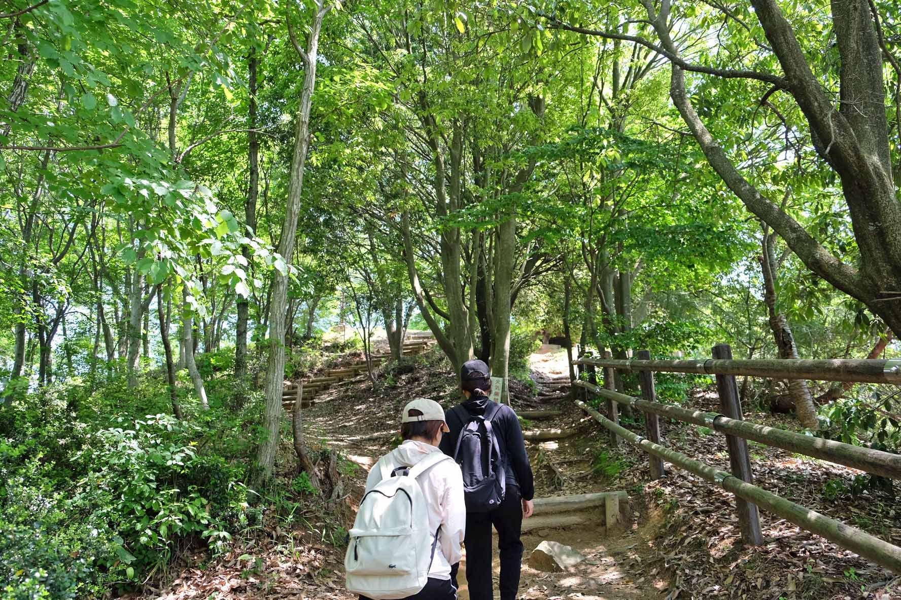
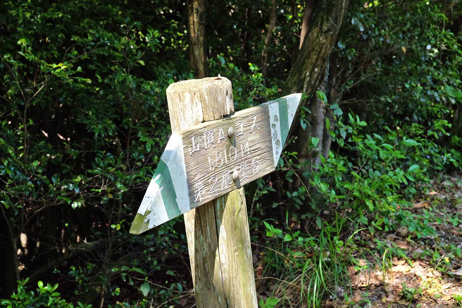
■ There are information boards everywhere along the way.
Directional boards are installed at branch points of mountain trails.
Let's aim for the summit while checking the local information board and Ikoi no Mori Park "park map".
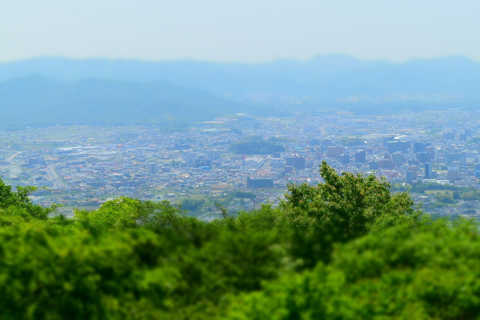
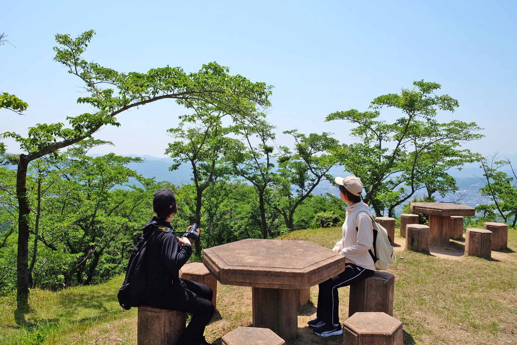
View of Higashi-Hiroshima city from the first observatory
We came to the first observatory at an altitude of 575 meters.
From the first observatory, you can see the streets of Higashihiroshima and Saijo, the Saijo Basin, and Mt. Noro in the distance.
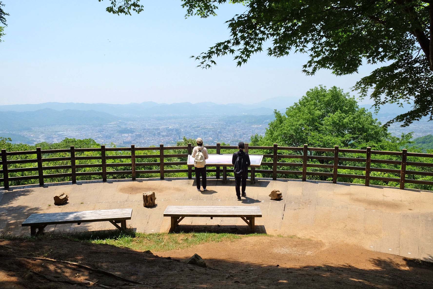
One of the real pleasures of mountain climbing is that you can feel a strong sense of accomplishment when you walk up.
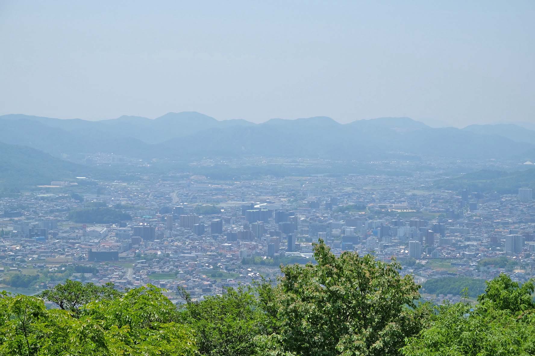
Pictures of miniature style are also crisp.
The photos below show the townscape of Saijo in miniature.
"Sakura no Mori" near the first observatory|Recommended for the cherry blossom season!
Near the first observatory of Mt. Ryuo, there is a spot called "Sakura no Mori" where 1,500 cherry trees are planted.
You can enjoy the colorful scenery of the cherry trees overlooking from near the top and the cityscape of Saijo spreading out below.
It was May when I visited, so it was 100% hazakura.
What kind of scenery will spread when these cherry blossoms bloom and bloom in full bloom?
It is sure to be a beautiful sight!
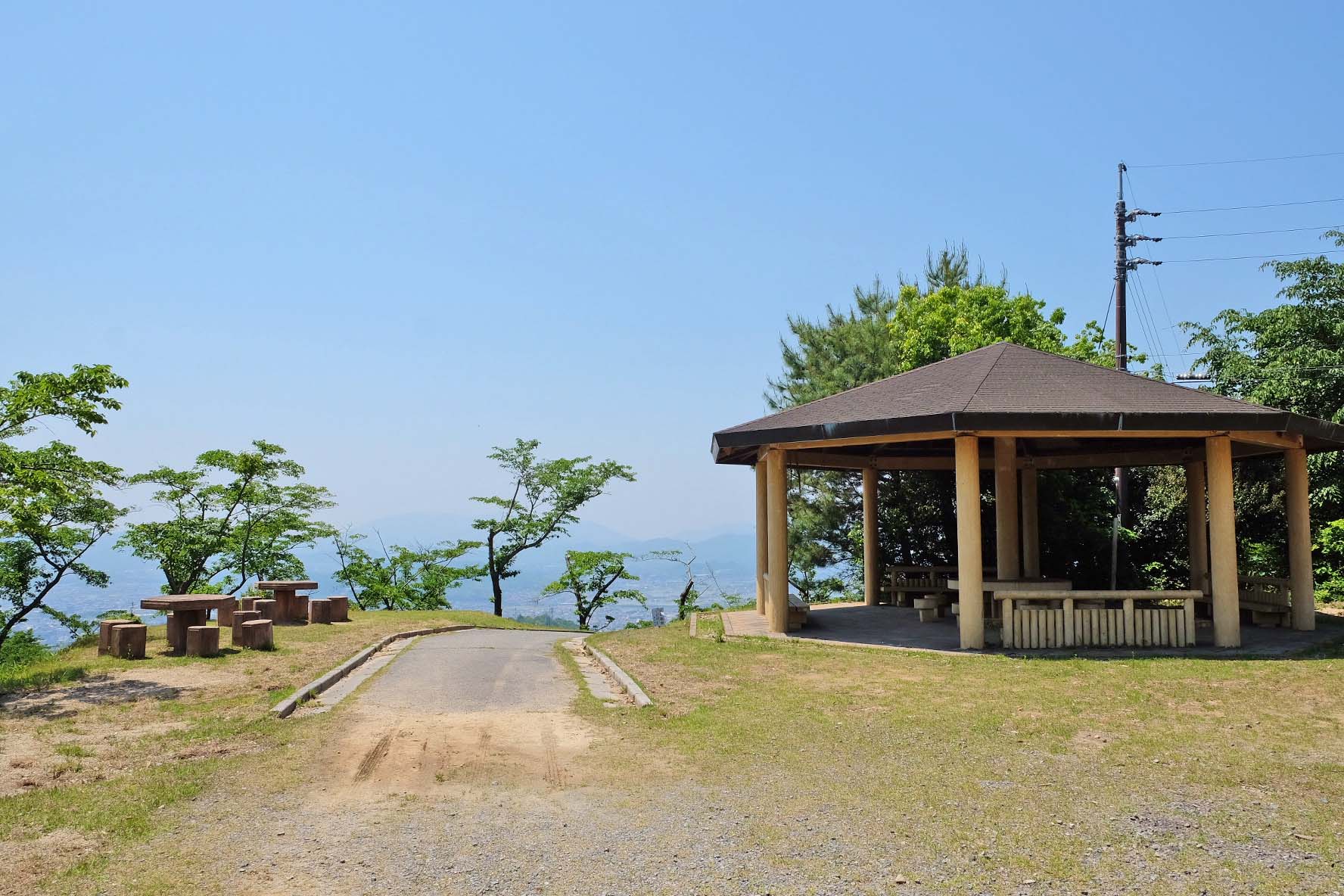
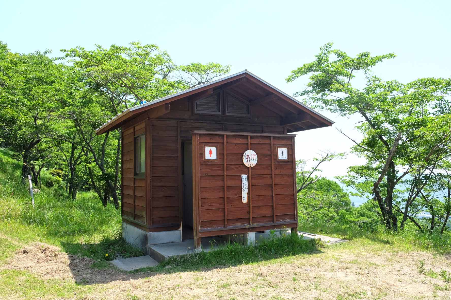
Near the "Sakura no Mori", there are benches where you can sit and take a rest, as well as restrooms.
It looks like it would be nice to eat lunch while watching the scenery here.
How about climbing "Mt. Ryuo" in Ikoi no Mori Park where you can enjoy various ways such as mountain climbing, hiking, superb views, and cherry blossoms!
Detailed information on Ikoi no Mori Park and Mt. Ryuo
Recommended items to bring
Since it will be a mountain hike, we recommend that you bring the following items with you.
Drink
There is no place to buy drinks near the summit. We recommend that you purchase and prepare in advance.
Bug repellent spray
There were many mosquitoes flying around when I visited. If you are concerned, it is recommended to bring insect repellent spray.
Comfortable clothes for walking
As you can see in the pictures of mountain trails, we climb stairs and slopes and walk on dirt. It is recommended that you choose shoes that are easy to walk in and clothes that are easy to move around in as you aim for the summit.
There is also a cherry-blossom viewing spot at the foot of Mt.
There is a "cherry blossom forest" near the summit, but there are also cherry blossom spots such as the "central lawn square" and "cherry blossom square" at the foot of Mt. This is also a place where you can see very beautiful cherry blossoms.
For details, please refer to the article below, which introduces the cherry blossom spot at the foot of Ikoi no Mori Park.
https://east-hiroshima.info/odekake/odekake/odekake_20230407
Detailed information on Ikoi no Mori Park
Ikoi no Mori Park, where Mt. Ryuo is located, is open from 9:00 to 17:00.
The gates will be closed after 17:00, so be sure to give yourself plenty of time, especially if you are aiming to reach the summit.
| Location | 941-17 Jike, Saijo-cho, Higashi-Hiroshima |
| Access | ・About 10 minutes by car from Saijo IC ・About a 25-minute walk from the north exit of Saijo Station |
| Opening hours | 9:00~17:00 |
| Closed day | Wednesday (Thursday if Wednesday is a holiday) |
| Parking | 160 units |
| Inquiry | Ikoinomori Park Management OfficePhone: 082-422-0005 |